
NW Pete Ross Way
Development Project
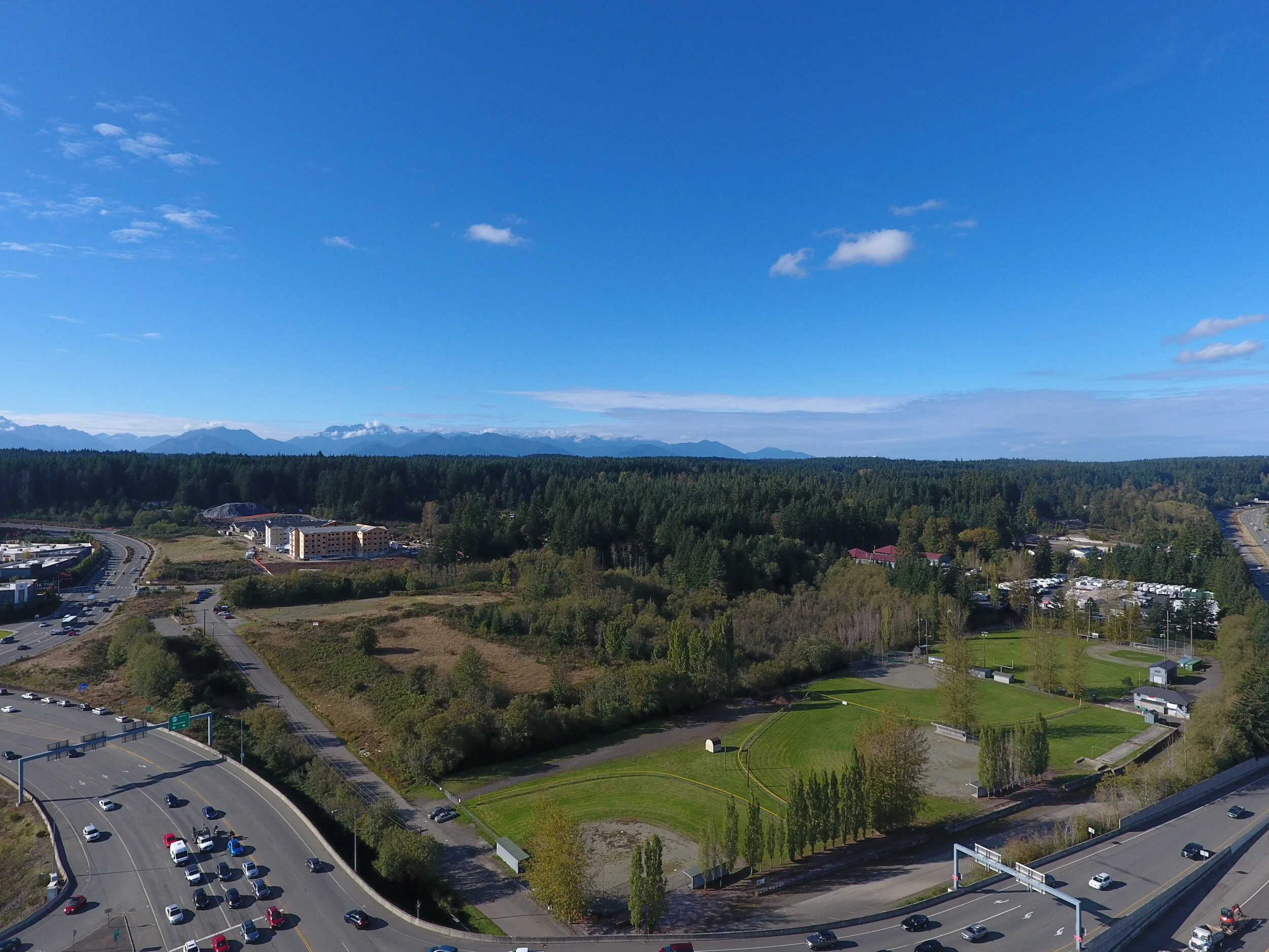
Project Site Drone Overview
Aerial footage displays the proximity to highway 16 and major arterials as well as The Trails and new development projects.

360 Google Maps Interactive Media
Use your mouse, fingers or track pad to click and drag to explore these interactive 360 photos taken on the Pete Ross Way project site.