IRT virtual site tours
***
Upper Ross Creek / Gorst Creek Watershed
Viking Fence Pond / Nick’s Lagoon / Chico Creek
A closer look at hard-to-access site features and aerial media.
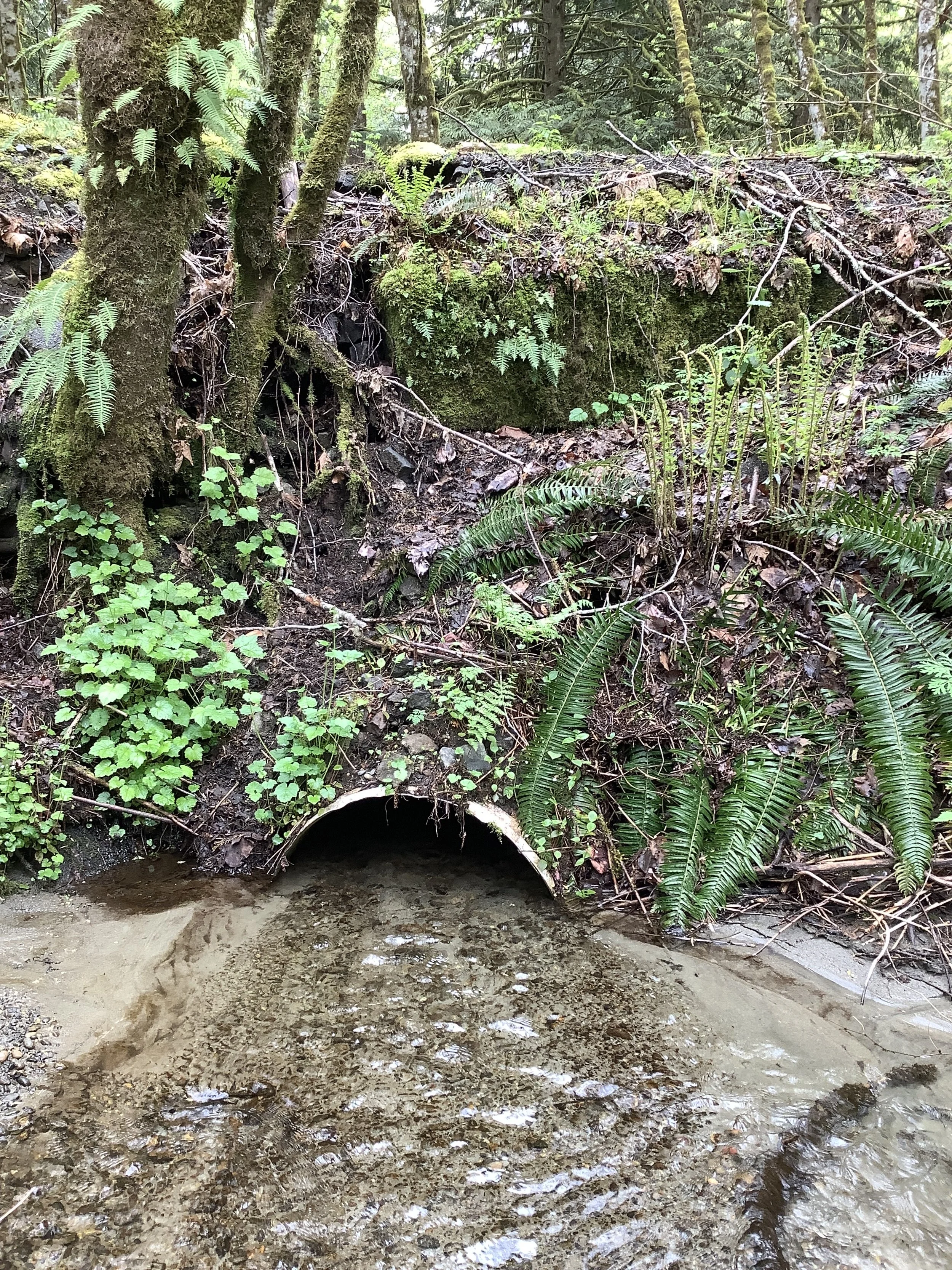
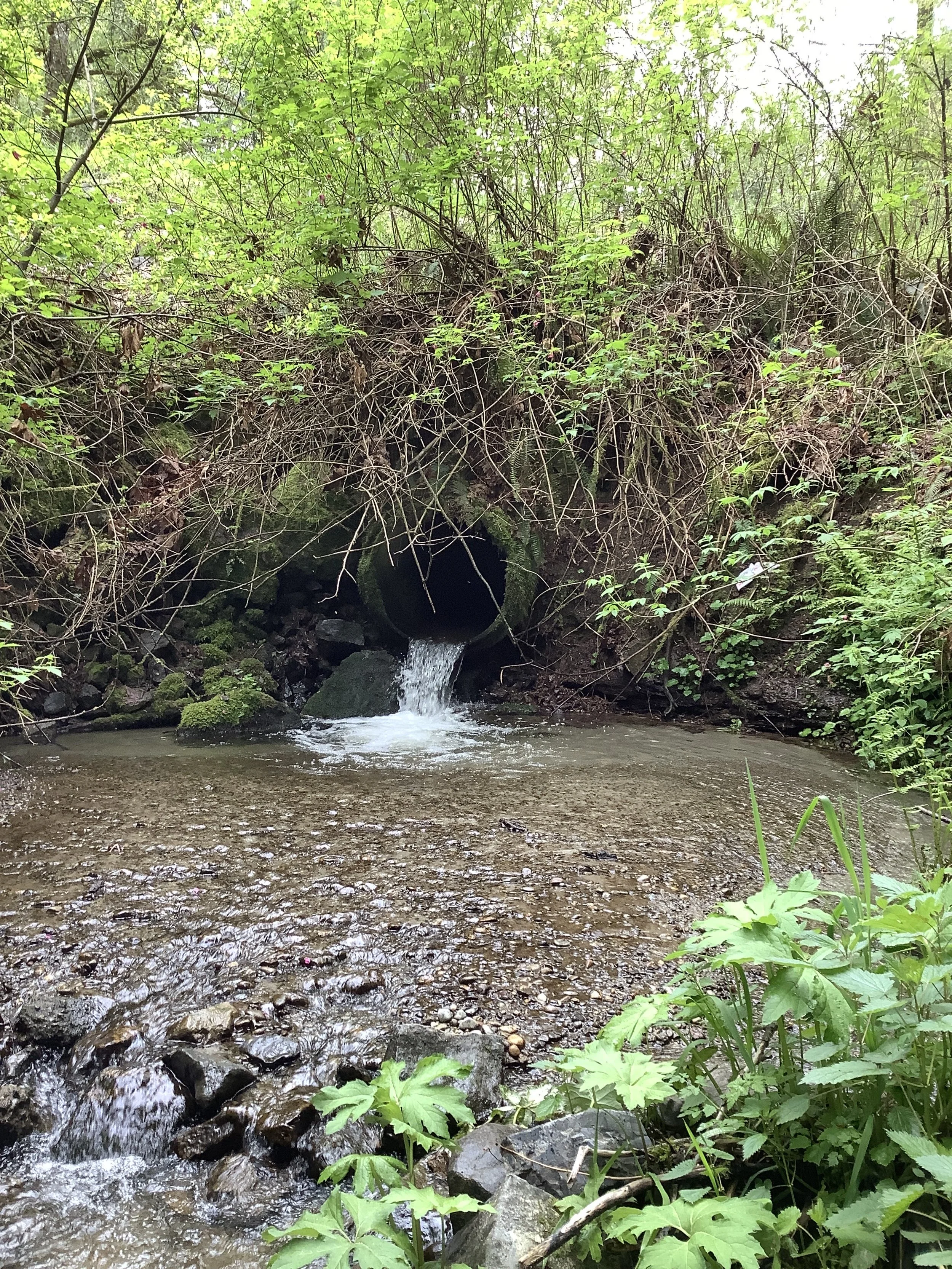
Site: UPPER ROSS CREEK
360 Google Maps Interactive Media
Use your mouse, fingers or track pad to click and drag to explore these interactive 360 photos taken at upper Ross Creek land bridge where Ross Creek enters a culvert, passes under a historic service road.
360 photographs are embedded from Google Maps. To view 360 images on mobile please turn phone to landscape position.
Site: GORST CREEK WATERSHED
360 Google Maps Interactive Media
Use your mouse, fingers or track pad to click and drag to explore these interactive 360 photos taken at the Gorst Creek former navy dump site where Gorst Creek enters a culvert, passes under a historic service road.
360 photographs are embedded from Google Maps. To view 360 images on mobile please turn phone to landscape position.
Additional Images